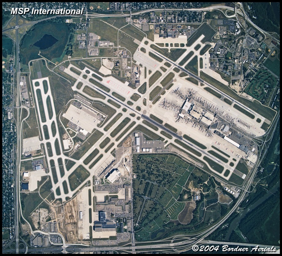
Vertical photography allows you to have an image that, like a map, can be scaled from and adjusted to a specific scale (such as 1 inch equals 200 feet). This is especially useful for planning, engineering and mapping purposes.
Dazzling detail is the aerial photography advantage. Unlike vertical images available on the internet, our custom work is current, often shot within days of your request, and is site specific, giving you high resolution images to work with showing the detail you need.
Vertical photography is conducted through special portholes installed in the aircraft floor. Cameras mounted in this fashion can record true scalable vertical images useful for planning and layout. All cameras used are gyro-stabilized to eliminate vibration problems endemic to aerial photography.
Common projects include:
Construction sites
Display maps
Special Projects
Property Surveys
Bordner Aerials can get you the right vertical photos to help in your work.


